
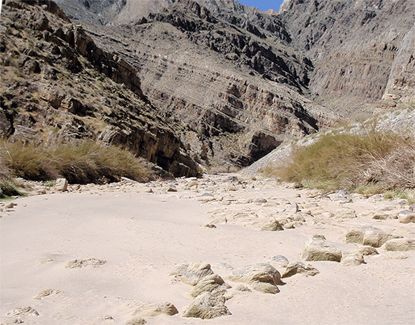
The lowest annual average precipitation and one of the fastest growing populations in the United States contribute to a tendency for both the general public and land-use planners to underestimate flood hazards in Nevada, despite historical evidence of frequent flooding. As new areas are developed to accommodate growth, communities are increasingly faced with the option of developing in areas prone to flooding. Flooding in Nevada various from regional events that occur during winter or spring from warm rain storms that rapidly melt seasonal snowpack to flash-floods derived from very localized summer convective storms with short duration, high intensity rainfall.
The U.S. Geological Survey with the support of the Federal Emergency Management Agency (FEMA), the U.S. Army Corps of Engineers (USACE), the Nevada Division of Water Resources Floodplain Management Program (NDWR), the National Oceanic and Atmospheric Administration (NOAA) National Weather Service (NWS), and the Nevada Department of Public safety Division of Emergency Management has developed this web site to make historic flood information publicly available. The focus of the web site is on existing data, both measured and estimated, for flood events in Nevada. Data includes historic flood photography, video clips, flood-frequency analyses, associated climatology, flood narratives, and links to other flood-related web sites.
