U.S. Geological Survey — U.S. Department of Energy Cooperative Studies and Groundwater Monitoring in Nevada
Amargosa Desert Monitoring Networks
From 1990 to March 2009, the U.S. Geological Survey (USGS), as part of its Environmental Monitoring Program (EMP), collected, compiled, summarized, and archived water-level and spring-discharge measurements from sites in the Yucca Mountain region, including the Amargosa Desert (Locke, 2008 ). This effort was funded by the U.S. Department of Energy (DOE), Yucca Mountain Project. The monitoring program was terminated in March 2009 due to lack of funding. The set of baseline data collected as part of this monitoring program helped to provide an understanding of the potential for movement of groundwater across local and regional geologic structures and documented pumping effects from groundwater withdrawals in the Amargosa Valley area.
Longer-term, baseline data records are important in the continued evaluation of groundwater resources and modeling regional groundwater flow in the Amargosa Desert and nearby areas such as Pahrump Valley. Therefore, the USGS Nevada Water Science Center is active in a cooperative effort of multiple natural-resource agencies (National Park Service, Nye County-Nevada, Inyo County-California, and U.S. Fish and Wildlife Service) to maintain an integrated groundwater and spring-discharge monitoring network in the Amargosa Desert. This monitoring network, referred to as the Amargosa Integrated Monitoring Network (AIMN), extends the long-term groundwater and spring discharge records for many of the sites measured by USGS-EMP from 1990-2009. Water-level and spring-discharge measurements collected under AIMN are reviewed by the USGS and stored in the in the USGS National Water Information System (NWIS).
Data collected under USGS-EMP and AIMN are available through this website and the AIMN project-specific website.
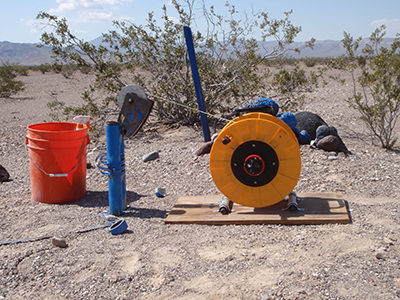
A calibrated electric tape used to measure depth to water in NA-6 Well.
For More Information
Jeff Sanders
[email protected]
U.S. Geological Survey,
Nevada Water Science Center
500 Date Street
Boulder City, NV 89005
Phone: 702-294-6052